Discover Northern England peaks that can be easily linked into multi-summit walks across the Lake District, Yorkshire Dales, Peak District and Pennines.
.avif)
One of the most satisfying ways to explore the hills of Northern England is by linking several peaks into a single walk. Instead of climbing a summit and returning the same way, walkers can follow ridges, plateaus and natural high ground to reach multiple peaks in one outing.
Many northern landscapes are perfectly suited to this approach. Long ridges in the Lake District, broad upland plateaus in the Yorkshire Dales and sweeping moorland in the Pennines all make it possible to move naturally from one summit to the next.
Linking peaks creates a stronger sense of journey. The walk becomes more than a simple climb. Each summit becomes part of a larger route that reveals the structure of the surrounding landscape.
This guide highlights some of the best peaks in Northern England that can be linked easily into multi-summit walks.
Certain landscapes make linking peaks much easier.
Ridges are one of the most obvious features. When peaks sit along the same ridge, walkers can move between them without losing height. This creates smooth and efficient routes.
Plateaus also work well. Broad upland areas often contain several summits within walking distance of each other.
Clear paths or well-known walking routes can also make linking peaks easier. In many cases these routes have developed naturally because the terrain already connects the summits.
The result is a walk that feels continuous rather than fragmented.
The Lake District contains some of the best ridge walking in England. Many summits sit along long ridgelines that make linking peaks straightforward.
Peaks included: Helvellyn, Nethermost Pike, Dollywaggon Pike
Distance between peaks: approximately 4 kilometres along the ridge
Typical walking time: 5 to 7 hours
Difficulty: Moderate
Why the peaks link well: A continuous high ridge connects all three summits
The Helvellyn ridge is one of the classic high routes in the Lake District. Once the ridge is reached, walkers can move easily between the summits while enjoying views across both sides of the mountain range.
Peaks included: Scafell Pike, Scafell
Distance between peaks: approximately 2 kilometres
Typical walking time: 6 to 7 hours
Difficulty: Challenging
Why the peaks link well: The summits sit close together within the same mountain group
Although the terrain between the peaks is rugged, experienced walkers often combine both summits in a single outing.
Peaks included: Catbells, Maiden Moor, High Spy
Distance between peaks: approximately 5 kilometres along the ridge
Typical walking time: 4 to 6 hours
Difficulty: Moderate
Why the peaks link well: A clear ridge connects several summits above Borrowdale
This ridge walk offers one of the most scenic linked peak routes in the Lake District.
The Yorkshire Dales landscape is shaped by high limestone plateaus and long ridges, which make linking peaks relatively straightforward.
Peaks included: Ingleborough, Whernside
Distance between peaks: approximately 6 kilometres
Typical walking time: 6 to 8 hours
Difficulty: Moderate
Why the peaks link well: Both peaks form part of the famous Three Peaks route
These two mountains are often climbed together as part of longer circular routes across the western Dales.
Peaks included: Buckden Pike, Little Whernside
Distance between peaks: approximately 3 kilometres
Typical walking time: 4 to 5 hours
Difficulty: Moderate
Why the peaks link well: The summits sit along the same upland ridge above Wharfedale
This route provides wide views across several Yorkshire Dales valleys.
Peaks included: Great Shunner Fell, Lovely Seat
Distance between peaks: approximately 6 kilometres
Typical walking time: 6 to 7 hours
Difficulty: Moderate
Why the peaks link well: A broad upland plateau connects the two summits
This route offers a quieter multi-peak walk in the northern Dales.
The Peak District is known for its ridges and edges, which create some of the easiest peak linking routes in England.
Peaks included: Mam Tor, Lose Hill
Distance between peaks: approximately 3 kilometres
Typical walking time: 2 to 3 hours
Difficulty: Easy
Why the peaks link well: A continuous ridge connects the two summits
This is one of the most popular ridge walks in the Peak District.
Peaks included: Kinder Scout plateau edges and nearby high points
Distance between peaks: varies depending on route
Typical walking time: 5 to 7 hours
Difficulty: Moderate
Why the peaks link well: The plateau contains multiple high viewpoints connected by paths
This walk allows several high points to be visited during one outing.
Peaks included: Shining Tor, Cats Tor
Distance between peaks: approximately 2 kilometres
Typical walking time: 3 to 4 hours
Difficulty: Easy to moderate
Why the peaks link well: Both summits lie along the same ridge in the South West Peak
This route provides excellent views across Cheshire and the surrounding hills.
The Pennines form a long upland spine where many peaks sit along broad ridges and plateaus.
Peaks included: Cross Fell, Little Dun Fell, Great Dun Fell
Distance between peaks: approximately 6 kilometres
Typical walking time: 6 to 8 hours
Difficulty: Moderate
Why the peaks link well: The summits sit along a high Pennine ridge
This route allows walkers to experience the highest ground in the Pennines in a single walk.
Peaks included: Windy Gyle, Bloodybush Edge, The Schil
Distance between peaks: approximately 7 kilometres
Typical walking time: 6 to 7 hours
Difficulty: Moderate
Why the peaks link well: The ridge follows the England Scotland border
These peaks provide a classic ridge walk across the Cheviot Hills.
Linking peaks creates more efficient and rewarding walking days. Instead of focusing on a single summit, walkers can experience several viewpoints and landscapes within the same route.
It also creates a stronger sense of progression. Each summit becomes part of a wider journey across the hills.
For peak baggers, linking peaks also allows several summits to be completed within a single outing.
When linking peaks it is important to consider distance, ascent and weather conditions. Ridge routes can be exposed to wind and poor visibility.
Planning escape routes and carrying navigation equipment is essential for longer hill days.
Pacing is also important. Linking several peaks can make a walk feel longer than a single summit climb.
Linked peak routes are ideal for experienced walkers and peak baggers who enjoy longer hill days. They are also popular with hikers seeking varied terrain and wide views across multiple landscapes.
Photographers often enjoy these routes because they reveal changing perspectives throughout the walk.
Track linked peak routes across Northern England, record your summit climbs and build your peak bagging list with Peaky Baggers.
Some of the most memorable days in the hills come from linking summits together. When peaks are connected by ridges and plateaus, the journey between them becomes just as rewarding as reaching the top. Northern England’s landscapes offer countless opportunities to explore the hills in this way.
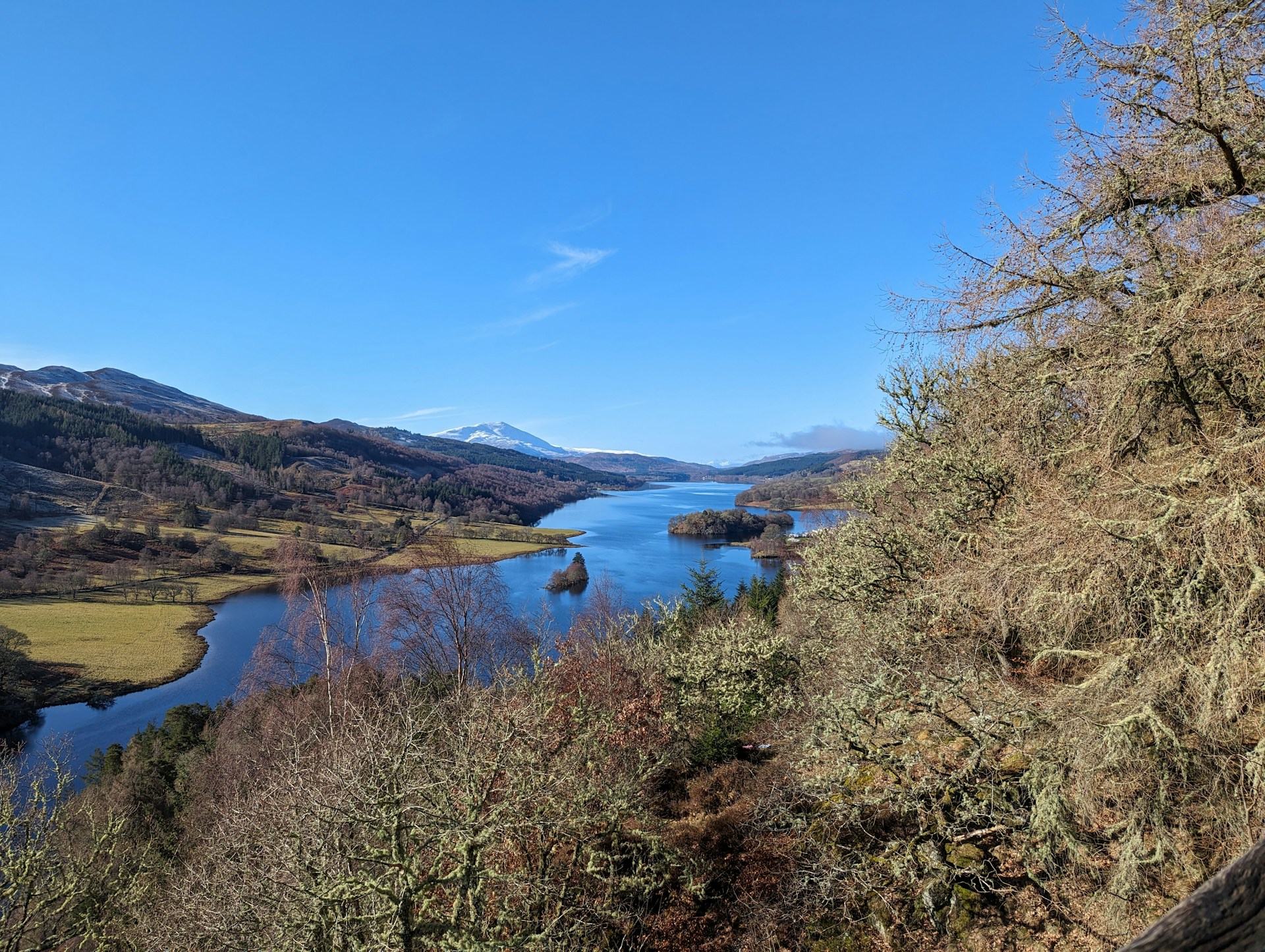
Photo by Ian Cylkowski on Unsplash

.jpg)