Skiddaw (931 m) is the fourth-highest mountain in the Lake District—but while most walkers opt for the busy track from Keswick, the Ullock Pike ridge route is a far more inspiring way to the top. It’s airy, elegant, and dishes up stunning views from the first step to the final cairn.
In this guide, we’ll take you through a rewarding circular route that includes Ullock Pike, Long Side, Carl Side, and Skiddaw’s summit—ticking off four Wainwrights in one brilliant day out.
Quick Overview
- Location: Northern Lake District
- Highest Point: Skiddaw (931 m)
- Route Type: Circular
- Distance: ~11.5 km (7 miles)
- Time Required: 5 to 6.5 hours
- Difficulty: Moderate to challenging (ridge sections, steep upper slopes)
- Start Point: Layby near Ravenstone Hotel or Orthwaite Road
- Ideal For: Wainwright baggers, ridge lovers, sunrise walkers
Getting There & Parking
This route starts from the northern end of the ridge, near the Ravenstone Hotel on the A591 or via the quieter Orthwaite Road approach.
- Parking: Small layby (space for ~6 cars) – free
- Nearest postcode: CA12 4QG (Ravenstone Hotel – don’t park in hotel car park)
- Public Transport: Limited—best to drive
- Top Tip: Arrive early for a space, especially in summer or weekends
Route Description
Section 1: From Layby to Ullock Pike
From the road, a grassy track leads up onto The Edge, the long ridge that forms the spine of the walk. The climbing starts almost immediately and doesn’t really let up until Skiddaw’s summit.
- Ullock Pike (690 m) is the first true summit
- Narrow in places with some mild exposure, but no scrambling
- Bassenthwaite Lake and the Solway Firth stretch out behind you
This is one of the most scenic ridges in the north Lakes and far quieter than the well-worn main route.
Section 2: Long Side and Carl Side
The ridge dips slightly before rising to Long Side (734 m), a subtle summit with sweeping views over Keswick and Derwentwater.
From here, it’s a gentler descent and traverse to Carl Side (746 m), a wide, grassy col that gives you a great angle on the western flanks of Skiddaw. This is the perfect spot for a break before the final effort.
Section 3: Skiddaw’s South-West Ascent
From Carl Side, the path steepens sharply as it climbs through loose slate. It’s not technical, but the footing can be awkward—watch your ankles here, especially in descent.
- Summit features: trig pillar, wind shelter, and wide plateau
- On a clear day: views to Helvellyn, Scafell Pike, the Pennines, and the Scottish Borders
Skiddaw’s summit is broad and exposed—expect strong winds even on a good day.
Section 4: Descent Options
You’ve got two solid options for the return:
Option 1:
Jenkin Hill Tourist Path Loop
- Follow the wide main track down toward Jenkin Hill
- Loop back via the bridleway past Barkbethdale and rejoin your starting point
Option 2:
Bakestall Extension
- Continue over the northern ridge to Bakestall (673 m)
- Descend via Whitewater Dash Falls and follow the Cumbria Way path through the valley
- Adds distance (~2.5 km extra) but feels wilder and more remote
Navigation & Maps
- OS Map: Explorer OL4 (North-western Lakes)
- GPX File: Available via Peaky Baggers, WalkLakes, or AllTrails
- Navigation Tip: Ridge and summit are well-defined in good weather, but Skiddaw’s plateau can be disorienting in mist—bring a map and compass or GPS
What to Bring
- Footwear: Proper hiking boots—essential for the steep slate path
- Layers: It’s almost always windy on Skiddaw’s summit
- Navigation tools: Map, compass, GPS
- Water & food: No refill points—bring enough for the day
- Walking poles: Useful for both the ascent and descent
- Optional: Headtorch if starting for sunrise
Facilities & Post-Hike Options
- Toilets: None at the start; public toilets available in Keswick
- Shops & Cafés: Keswick has everything you need
- Pubs Nearby:
- The Sun Inn, Bassenthwaite
- The Pheasant, near Bassenthwaite Lake—great food and beer garden
- Accommodation: Keswick or Bassenthwaite both make ideal bases
Tips for the Trail
- This route is best tackled in good weather—the ridge is exposed and the views make the effort worthwhile
- Start early to enjoy the ridge before others arrive
- Dogs are fine, but there are steep drops near Ullock Pike—keep them close
- In winter, this route requires full winter equipment and experience
Final Thoughts
If you want to bag Skiddaw without the motorway path and with a ridge that feels like a proper journey, the Ullock Pike route is the one to go for. It’s not just about the summit—it’s about the climb, the views, and the feeling of moving through big open space without the crowds.
And once you’re done, don’t forget to log Skiddaw, Carl Side, Long Side, and Ullock Pike in the Peaky Baggers app. Four quality Wainwrights in one stunning loop.
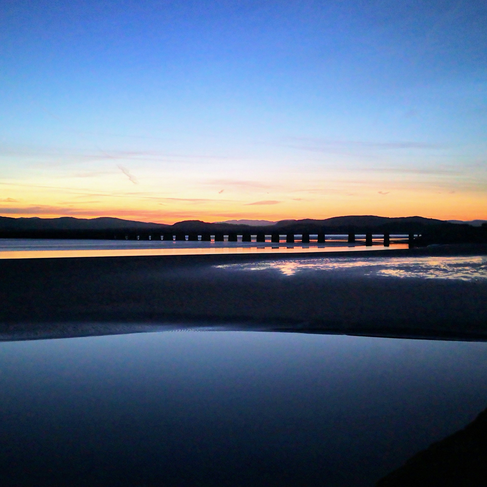
Photo by Jonny Gios on Unsplash

.jpg)

.avif)