June 30, 2025

Schiehallion Day Hike

Plan your day hike up Schiehallion with this detailed route guide. Find out how long it takes, what to pack, and why this iconic Scottish Munro is perfect for beginners.

A Classic Highland Munro with Panoramic Views and a Dash of History

If you’re looking for a rewarding, beginner-friendly Munro in the Scottish Highlands, Schiehallion should be high on your list. Rising to 1,083 metres and known as “The Fairy Hill of the Caledonians”, this shapely peak offers an achievable day hike with unforgettable 360-degree views.

Located in central Perthshire, Schiehallion is one of the most accessible Munros in the Highlands — and a favourite for first-time baggers. Here’s everything you need to know before you take it on.

Quick Stats

  • Location: Braes of Foss, Perthshire
  • Height: 1,083m
  • Distance: ~10km (out and back)
  • Time: 4–6 hours
  • Difficulty: Moderate
  • Start Point: Braes of Foss car park
  • OS Map: Explorer 379
  • Facilities: Toilets (seasonal), paid parking

Route Overview

This is a linear walk (out-and-back) starting from the Braes of Foss car park, managed by the John Muir Trust. The initial section climbs steadily on a well-maintained path across open heathland, gradually transitioning into rougher ground.

The final third of the route is dominated by a wide boulder field, which leads onto a spacious summit plateau. There’s no scrambling required, but footing becomes more technical — so take your time here.

Once on the summit, you’re rewarded with panoramic views over Rannoch Moor, the Glen Lyon hills, and the distant peaks of Glencoe and Ben Nevis on a clear day.

Terrain Breakdown

  • Firm, manmade path for the first 3km
  • Heather-covered open ground
  • Boulder-strewn final ascent
  • Exposed summit plateau — navigation can be tricky in mist
  • Total elevation gain: ~720m

Key Highlights

  • Unreal views: You’ll see Loch Rannoch, the Cairngorms, and the entire Ben Lawers range
  • Scientific legacy: Schiehallion was the site of an 18th-century experiment to measure the Earth’s mass — now known as the Schiehallion Experiment
  • Shapely silhouette: Its name means “Constant Storm” or “Fairy Hill of the Caledonians”, depending on your Gaelic translation
  • Boulder field challenge: Just enough terrain variety to keep things interesting for new hillwalkers

What to Watch Out For

  • The boulder field can be slippery when wet
  • The summit is often cloud-covered, even on good weather days
  • Winds can pick up rapidly near the top — bring layers
  • No natural water sources on the route, so pack enough

What to Bring

  • Proper hiking boots (ankle support highly recommended)
  • Warm layers, hat, gloves, and waterproofs
  • Snacks and at least 2L of water
  • OS map and compass (and the skills to use them)
  • Peaky Baggers app (for route tracking and summit logging)
  • Headtorch if starting late or hiking in spring/autumn

Optional Extras

If you’re looking to extend your trip:

  • Wild camping: There are decent spots around Loch Rannoch, just a short drive from the base
  • Nearby peaks: The Ben Lawers group or Beinn a’ Ghlo offer more remote options if you’re confident navigating off-trail
  • Local pit stop: Head into Aberfeldy or Kinloch Rannoch for post-hike food and supplies

Final Thoughts

Schiehallion is a classic for a reason. It’s approachable, scenic, and steeped in Highland character — all without the long-distance haul required for many other Munros.

Whether it’s your first solo hike, your first Munro, or just your next day out, Schiehallion ticks all the boxes. Just don’t underestimate the final boulder field — and be ready for some serious summit smiles if the clouds part..

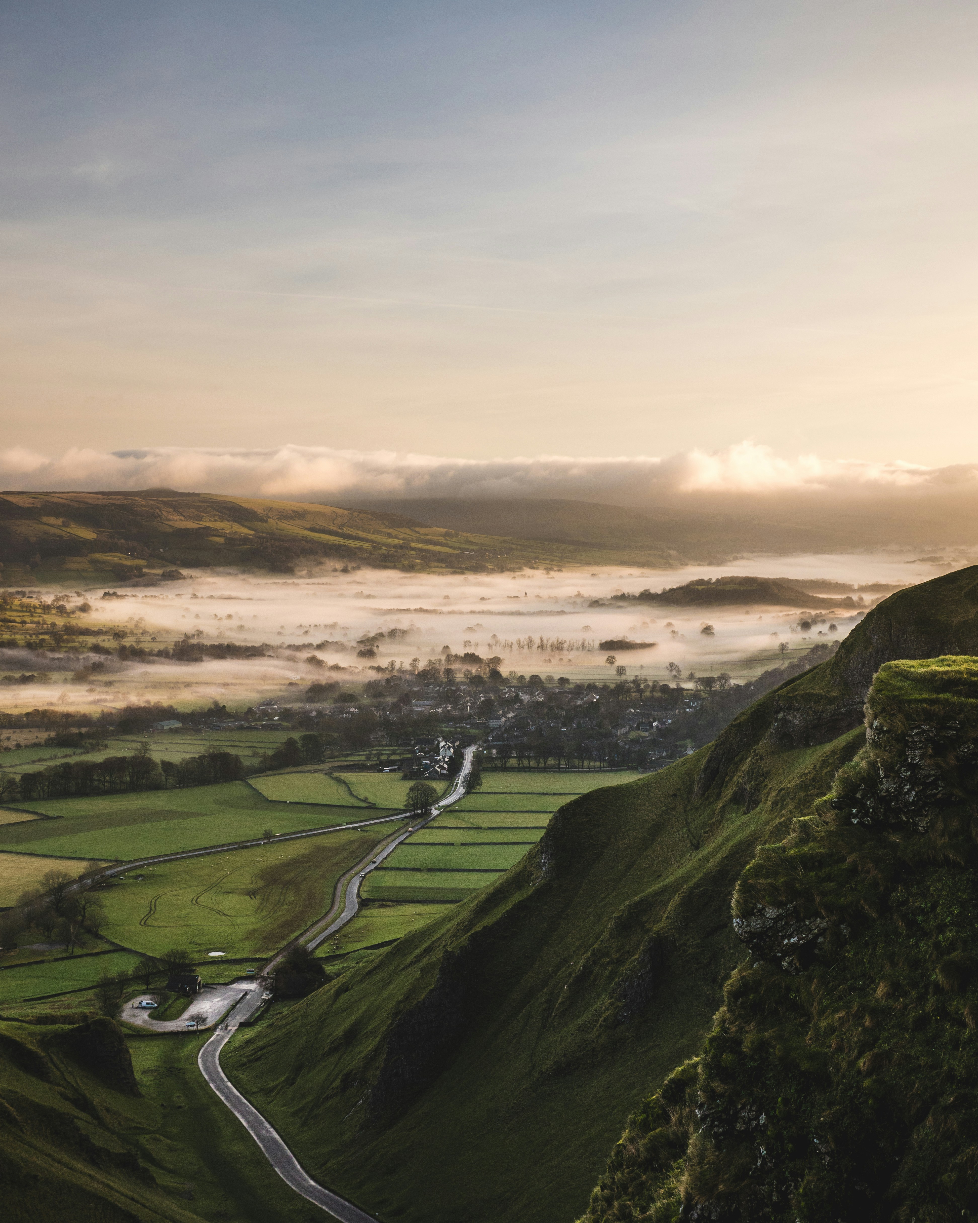
Photo by Arno Senoner on Unsplash

Related posts

Trail Guide: Latrigg Circular from Keswick
Guides

Trail Guide: Latrigg Circular from Keswick

Spring Ridge Routes That Won’t Terrify You
Seasonal

Spring Ridge Routes That Won’t Terrify You

Ridge Routes in Snowdonia for Beginners
Guides

Ridge Routes in Snowdonia for Beginners