Discover Northern England peaks you can link in one day. Explore multi-peak hiking routes across the Lake District, Peak District and beyond.

Some of the best days in the hills aren’t about one summit.
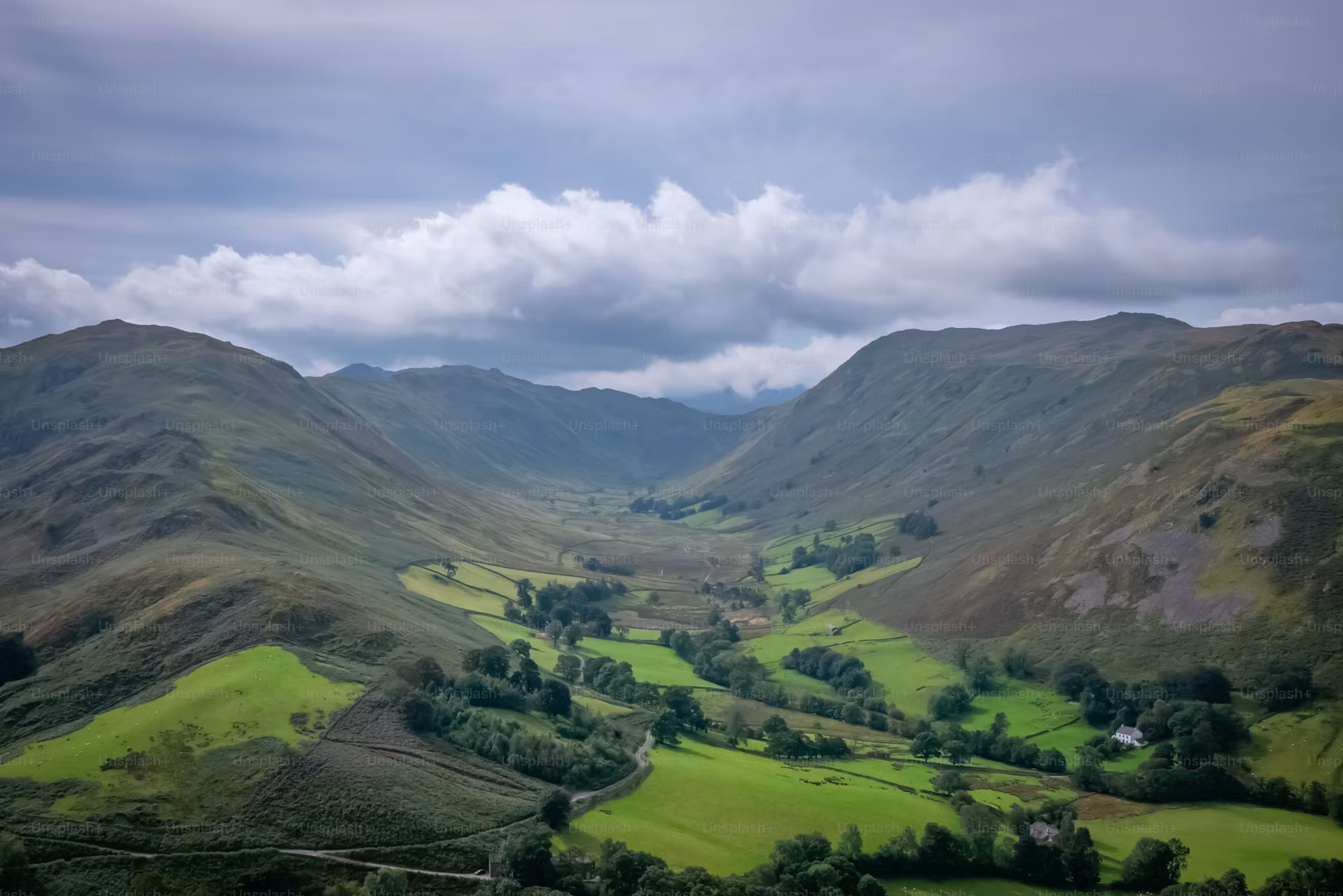
They’re about linking a few together—staying high, moving across ridges, and turning a simple hike into something that feels like a proper journey.
Across Northern England, there are loads of routes where peaks naturally connect. You’re not just going up and down—you’re moving through the landscape.
It’s exactly what it sounds like:
Instead of climbing one peak and heading back down, you stay high and move between them.
Clusters of peaks and classic ridge lines make linking summits easy.
Gentler terrain with obvious ridge routes.
Open landscapes where you can build your own routes.
Rolling hills that naturally connect over long distances.
Peaks Included: Helvellyn, Nethermost Pike, Dollywaggon Pike
Distance: 12–16km
Time: 5–7 hours
Route Type: Ridge / circular
Difficulty: Moderate–Challenging
A natural high ridge links these peaks with very little loss of elevation.
Classic ridge walking—steady climbing followed by long stretches on high ground.
Views over multiple valleys, Red Tarn, and continuous mountain scenery.
Peaks Included: Langdale Pikes group (including Pavey Ark and Harrison Stickle)
Distance: 8–12km
Time: 4–6 hours
Route Type: Circular
Difficulty: Moderate
A tight cluster of peaks makes it easy to link several summits in one loop.
Steeper climbs with rocky terrain and short scrambles (using hands briefly).
Iconic views over Langdale Valley and a real sense of variety.
Peaks Included: Mam Tor, Lose Hill
Distance: 6–10km
Time: 3–4 hours
Route Type: Ridge / circular
Difficulty: Easy–Moderate
A clear, well-defined ridge connects both peaks naturally.
Gentle gradients and easy-to-follow paths.
Rolling Peak District views and one of the most accessible ridge walks in England.
Peaks Included: Ingleborough + surrounding hills
Distance: 10–14km
Time: 4–6 hours
Route Type: Circular
Difficulty: Moderate
The open terrain makes it easy to extend beyond the main summit.
Steady climbing with a mix of paths and open ground.
Wide Dales views and flexibility to build your own route.
Peaks Included: Cross Fell, Little Dun Fell, Great Dun Fell
Distance: 14–18km
Time: 6–8 hours
Route Type: Circular
Difficulty: Moderate–Challenging
Rolling terrain makes linking multiple high points straightforward.
Long, exposed walking across moorland (upland terrain with grass and peat).
Huge, uninterrupted views and a strong sense of isolation.
Ridges naturally connect summits and reduce unnecessary climbing.
Routes can look short but take longer than expected.
Always have a way to shorten your route if needed.
It’s about endurance, not speed.
Bring enough food, water, and layers.
Gives you more flexibility during the day.
Plan like it’s a full day in the hills.
Linking peaks turns a hike into something more.
You’re not just heading to a summit—you’re moving through the landscape, connecting high ground, and getting a lot more out of your time in the hills.
Track your hikes, log your summits, and build your Northern England list with Peaky Baggers.
Photo by Jonny Gios on Unsplash
.png)