Explore the Cheviot Hills with this peak bagging guide featuring The Cheviot, Hedgehope Hill and other remote summits in Northumberland National Park.

The Cheviot Hills sit quietly on the border between England and Scotland, forming one of the most remote upland landscapes in England. Located within Northumberland National Park, these hills stretch across wide moorland plateaus and long ridges that feel far removed from the crowds of more famous mountain regions.
Unlike the jagged peaks of the Lake District or the steep ridges of Snowdonia, the Cheviots are defined by rounded summits and sweeping uplands. The terrain is expansive and often subtle, with long approaches and broad horizons rather than dramatic rocky summits.
For peak baggers, the Cheviots offer something different. These hills reward patience and curiosity. Walk far enough into them and the landscape begins to feel vast and quiet, with only the wind, wildlife and distant ridges for company.
This guide introduces the essential peaks of the Cheviots and provides a starting point for exploring one of England’s most atmospheric hill regions.
The Cheviots are defined by scale rather than height. Many of the summits rise gently above wide moorland plateaus, creating a landscape that feels open and exposed.
Walking here often involves long ridges and broad upland crossings rather than steep ascents. Routes can cover significant distances before reaching the highest ground, which adds to the sense of remoteness.
The hills also sit within a landscape shaped by history. Ancient hill forts, border routes and old drove roads cross the region, reminding walkers that these hills have long marked the boundary between England and Scotland.
Wildlife is another defining feature. The Cheviots support a wide range of birds of prey, upland birds and wild goats that roam the slopes.
The peaks listed in this guide represent the most significant summits in the Cheviot Hills. Some are the highest points in the range, while others define the ridges and landscapes that make the region distinctive.
Many of these peaks can be combined into longer circular routes or multi-summit days. Walkers should be prepared for open moorland terrain and changing weather conditions.
Because access points can be limited, careful route planning is often required.
Height: 815 metres
Area: Central Cheviots
Why it is essential: The highest summit in the Cheviot Hills and the highest point in Northumberland
Typical walking time: 5 to 7 hours
Difficulty: Moderate
Route style: Circular
The Cheviot forms the centrepiece of the range and offers wide views across both England and Scotland. Its broad summit plateau is marked by a stone shelter and trig point.
Height: 714 metres
Area: Central Cheviots
Why it is essential: A distinctive summit often climbed alongside The Cheviot
Typical walking time: 5 to 6 hours
Difficulty: Moderate
Route style: Circular
Hedgehope Hill rises sharply above the surrounding landscape and offers excellent views across the Cheviot Hills.
Height: 652 metres
Area: Central Cheviots
Why it is essential: A quieter summit forming part of classic Cheviot walking routes
Typical walking time: 4 to 5 hours
Difficulty: Moderate
Route style: Circular
Comb Fell sits south of the main Cheviot plateau and provides a quieter upland experience.
Height: 619 metres
Area: England Scotland border
Why it is essential: A key summit along the border ridge
Typical walking time: 4 to 5 hours
Difficulty: Moderate
Route style: Circular
Windy Gyle lies directly on the border and is known for its large cairn and wide views.
Height: 615 metres
Area: Northern Cheviots
Why it is essential: A prominent summit overlooking the College Valley
Typical walking time: 4 to 5 hours
Difficulty: Moderate
Route style: Circular
Cushat Law provides one of the best viewpoints over the central Cheviot landscape.
Height: 610 metres
Area: Border ridge
Why it is essential: A long ridge summit that forms part of extended Cheviot traverses
Typical walking time: 4 to 6 hours
Difficulty: Moderate
Route style: Circular
Bloodybush Edge is often reached as part of longer ridge walks across the Cheviots.
Height: 601 metres
Area: Border ridge
Why it is essential: A striking conical hill near the Scottish border
Typical walking time: 4 to 5 hours
Difficulty: Moderate
Route style: Circular
The Schil stands out from the surrounding hills and offers excellent views into the College Valley.
Height: 652 metres
Area: Northern Cheviots
Why it is essential: A remote summit within the upper College Valley landscape
Typical walking time: 5 to 6 hours
Difficulty: Moderate
Route style: Circular
Black Hag provides a quieter and more remote walking experience.
Height: 602 metres
Area: College Valley
Why it is essential: A broad summit overlooking the northern Cheviots
Typical walking time: 4 to 5 hours
Difficulty: Moderate
Route style: Circular
Hethpool Law offers strong views across the surrounding valleys and hills.
Height: 610 metres
Area: Border ridge
Why it is essential: A quiet summit along the border ridge
Typical walking time: 4 to 5 hours
Difficulty: Moderate
Route style: Circular
Broadstruther is rarely busy and suits walkers looking for a quieter ridge experience.
Height: 601 metres
Area: Northern Cheviots
Why it is essential: A remote hill that reinforces the isolation of the Cheviot landscape
Typical walking time: 4 to 5 hours
Difficulty: Moderate
Route style: Circular
Cold Law sits within open moorland terrain and offers a peaceful summit experience.
Several routes allow walkers to combine multiple peaks in a single day.
One of the most popular routes links The Cheviot and Hedgehope Hill in a circular walk from the Harthope Valley. Another excellent option follows the border ridge, connecting summits such as Windy Gyle and The Schil.
The Breamish Valley and College Valley also offer routes that include several Cheviot peaks in a single outing.
Because distances can be long, these routes require careful planning.
The Cheviot Hills are known for their exposed terrain and rapidly changing weather. Cloud can descend quickly across the plateaus, making navigation challenging.
Peat moorland and wet ground are also common, particularly after heavy rain. Walkers should be comfortable using maps and navigation tools and should plan routes carefully before setting out.
These conditions are part of what gives the Cheviots their sense of wilderness.
Spring and autumn often provide the best walking conditions, with clear air and quieter hills. Summer offers longer daylight hours but can also bring stronger winds across the high ridges.
Winter conditions can be severe, especially on exposed summits such as The Cheviot.
Wind is often the most significant factor throughout the year.
The Cheviots are ideal for walkers seeking quieter landscapes away from the busiest mountain regions. They appeal to peak baggers exploring new parts of the UK and to experienced walkers who enjoy long routes across open terrain.
The hills are less suitable for those looking for dramatic rocky summits but perfect for those who appreciate space, solitude and wide horizons.
Track your Cheviot Hills peaks, build your summit list and record your progress with Peaky Baggers.
The Cheviots do not compete for attention with the most famous mountain regions of the UK. Instead they reward those willing to walk a little further and look a little closer. In return they offer some of the quietest and most atmospheric upland walking in England.
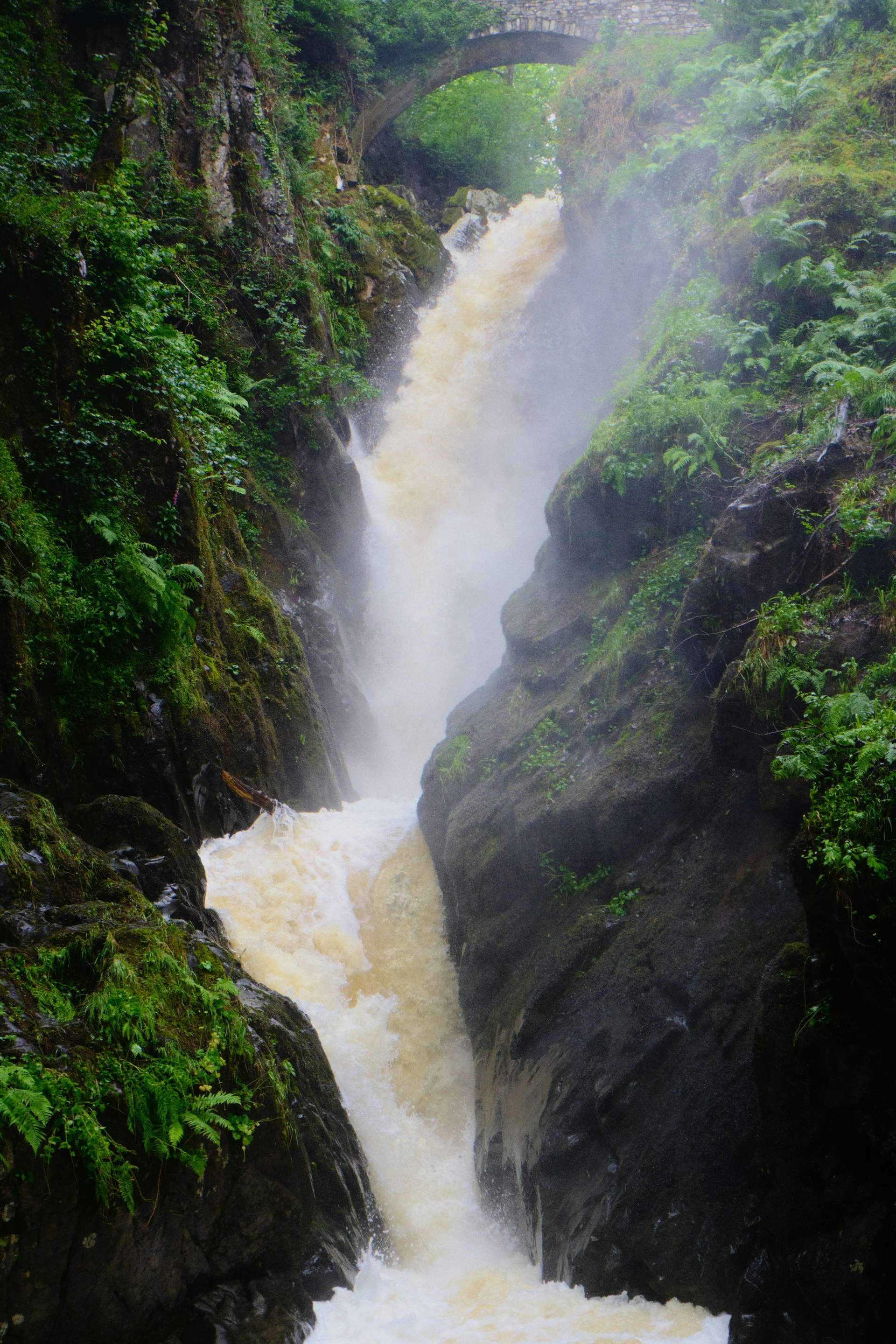
Photo by Craig Birch on Unsplash